

Collaborating with students and design researchers
To explore the possibilities of combining protective and productive land uses, the design research process involved twelve senior landscape architecture students working with the three themes identified in the agreement: conservation, protection and tourism.
Multiple drivers – Designing with Multifunctionality
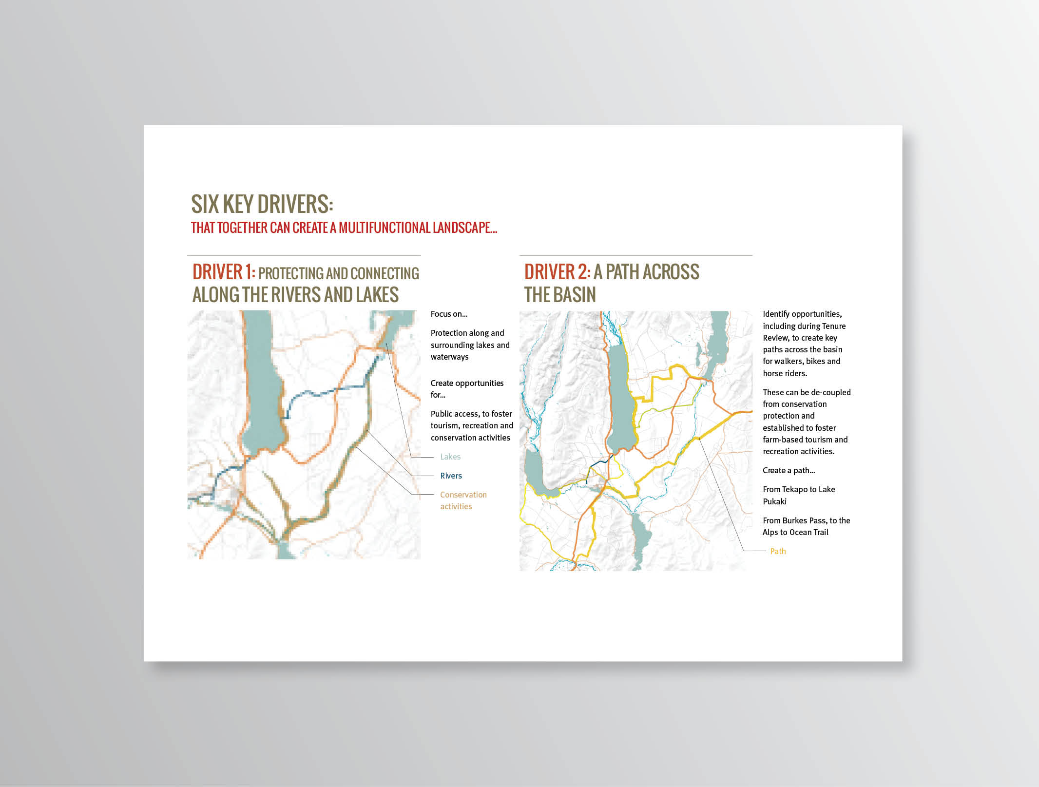
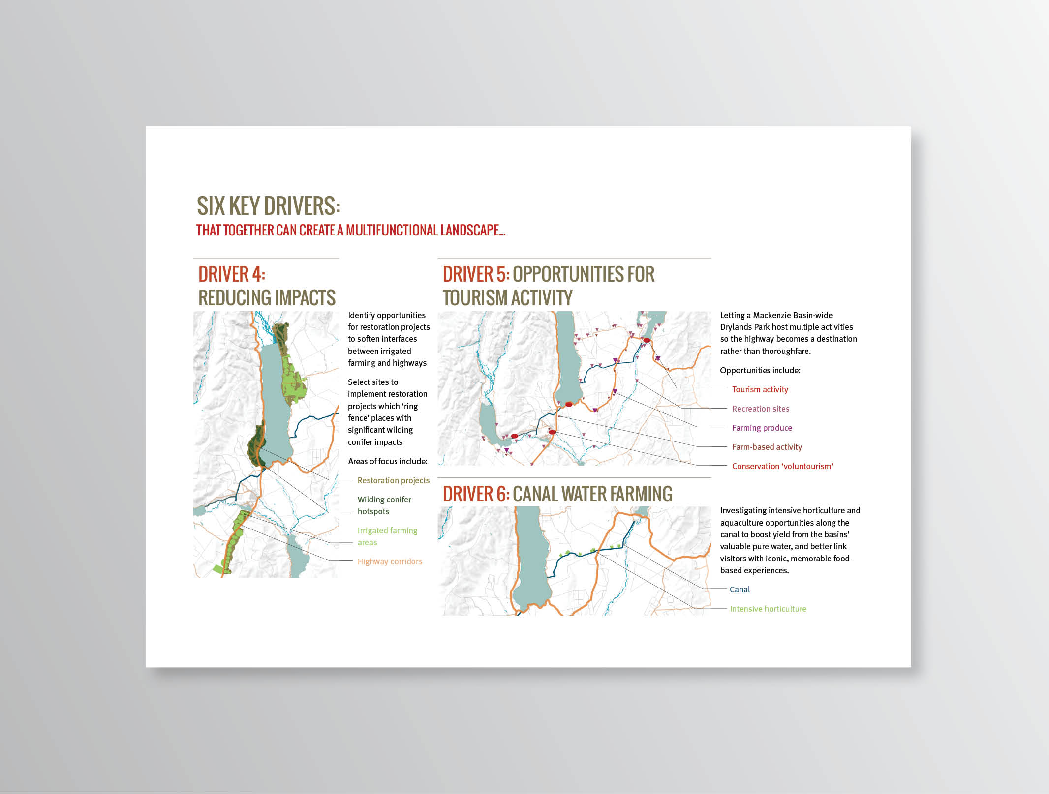
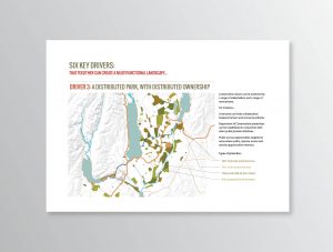
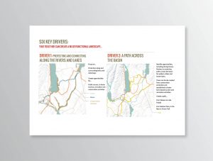
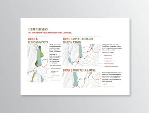
Seven drivers that could act as agents to direct and programme open-ended changes in the landscape were developed and speculatively mapped to show ways these could be spatially expressed in the region.

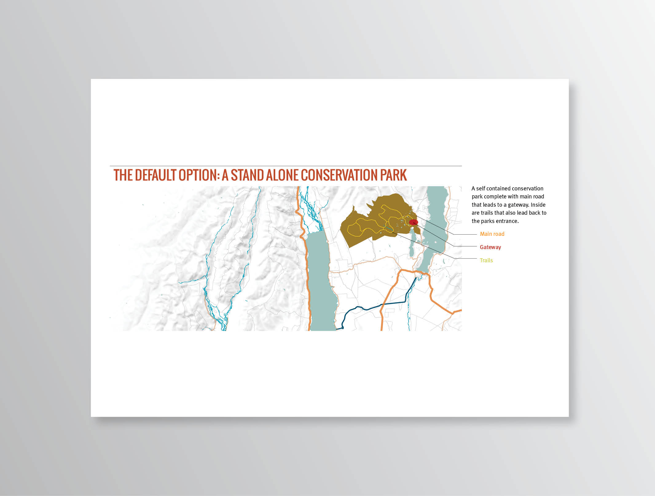
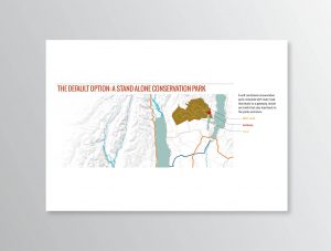
Phased protection
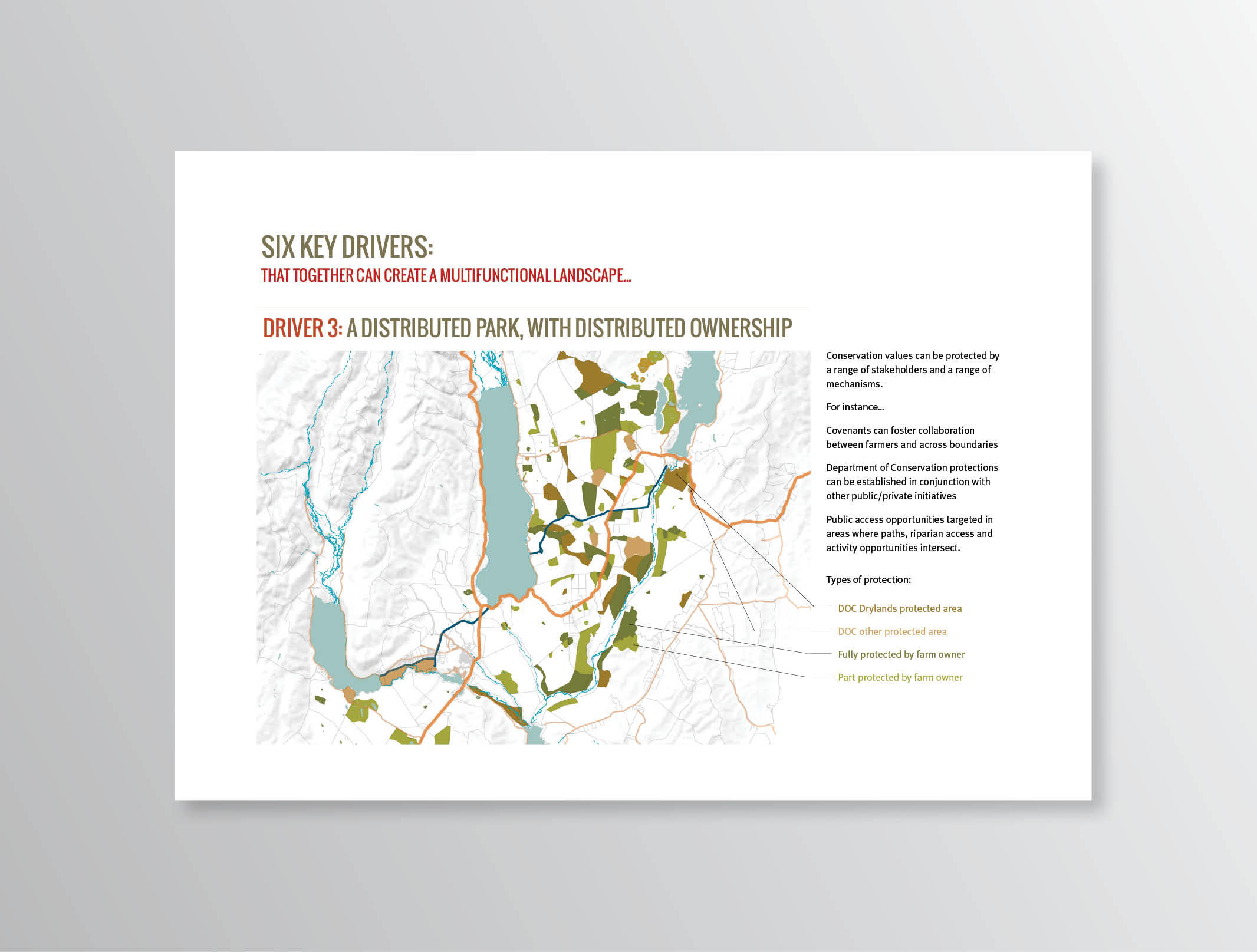
Conjectural map suggesting the evolution of a distributed Drylands Park. It reveals a fractal-like complexity that can strengthen values of multifunctionality at both regional and local levels.


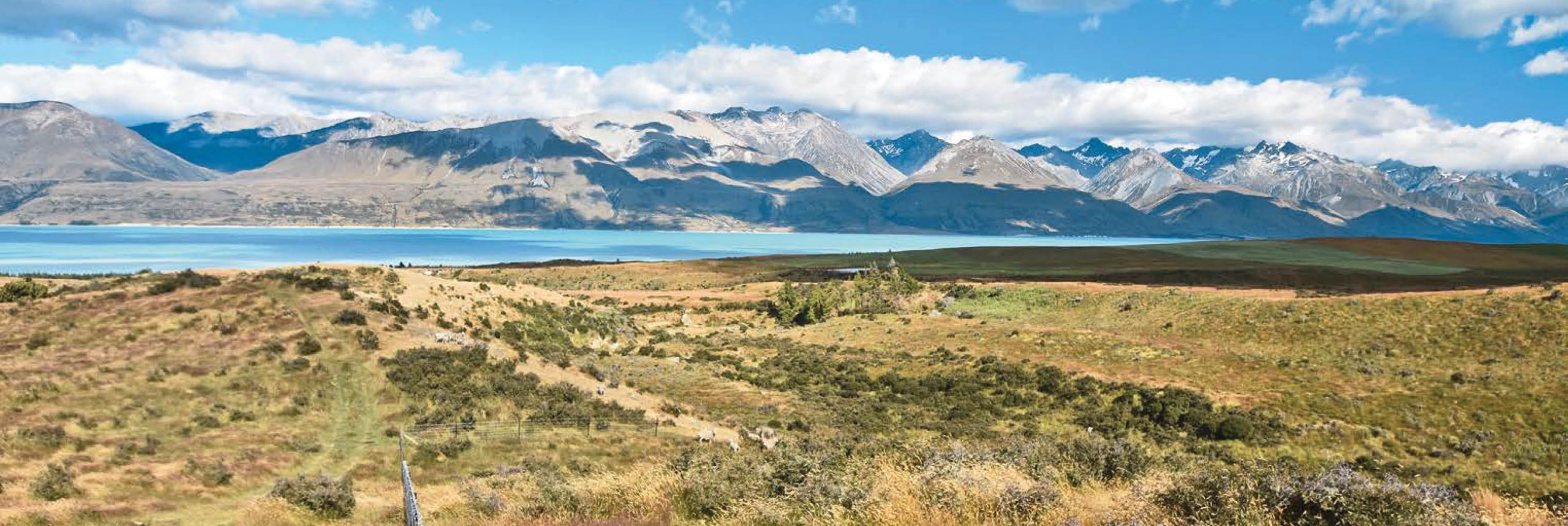
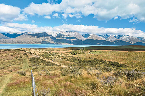
100% Mackenzie Country
Images of the Mackenzie Basin that would fit within Tourism New Zealand’s branding were broken down into constituent parts. For instance, a single image of a ‘100% Mackenzie Country’ can be understood as an integrated mix of protected waterways, dryland pasture, public access and high country farming.