How do we see New Zealand and its environment?
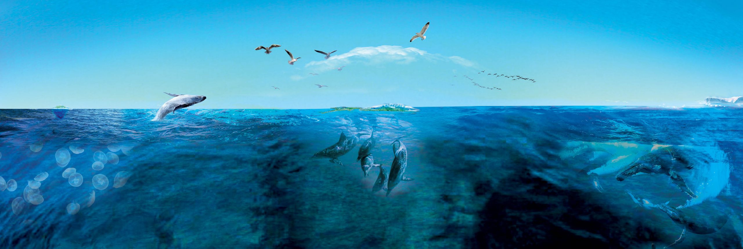
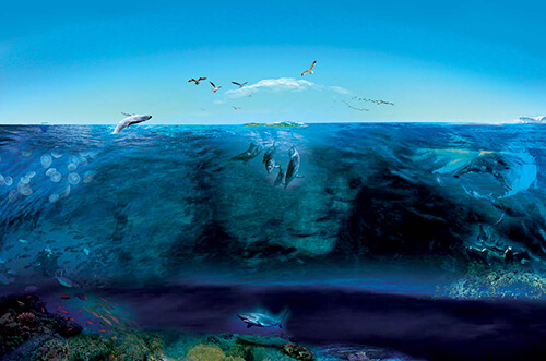
New Zealand’ is commonly perceived as series of islands in the South Pacific; isolated, oasis-like, covered in forest; and physically ‘separated’ from the rest of the world by the Pacific Ocean. Research undertaken by New Zealand’s Department of Conservation has revealed that our perception of ‘quintessentially New Zealand’ doesn’t include any marine species.

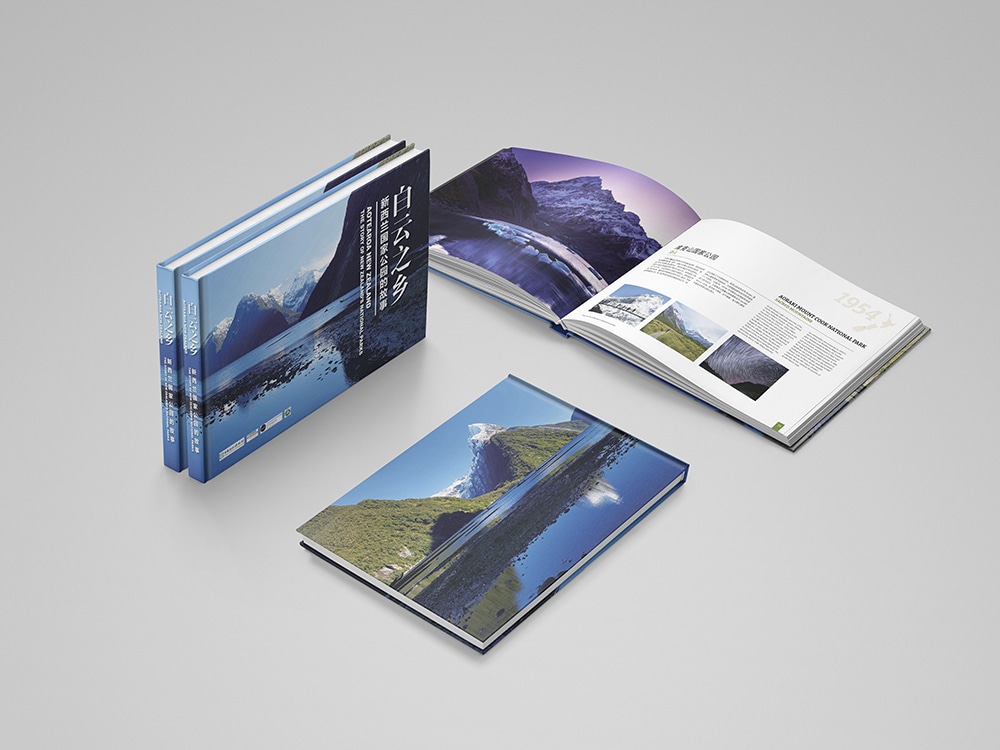
The Real Aotearoa New Zealand
Map of New Zealand including all territories that make up its “arc of influence”. Relative sizes of New Zealand’s marine and Antarctic territories as a multiple of the island areas of New Zealand. Color figure available online.

The sea vis-a-vis the land: seabed contours and marine features
Normative map of a section of Fiordland National Park, with the ocean territories monochromatically expressed. Color figure available online. Versus A representation of Fiordland as a meeting of ocean and land territories within an expanded presentation of New Zealand’s “arc of influence”. Color figure available online.

Naming the seafloor: going beyond “Discoverers” rights’
Names designated for the Chatham Rise within New Zealand’s ocean territories (National Institute for Water and Atmospheric Research 2006b). Color figure available online.

Nature–society hybrids: ecological liveliness and interactions
In order to create interest in and learning about the marine species that inhabit New Zealand’s ocean areas, we consider how maps can be developed. For example, migration route of taiko/westland petrel, along with flight path of two current Air New Zealand routes. Color figure available online.

An unbroken transect of land, sea, and sky: mapping conservation holistically
Creating a visual of this holistic practice of conservation is integral to it being able to be valued. Left-hand image shows current land and ocean protections; centre image sky protections; right-hand image overlaying of conservation protections spanning 18% of the globe’s circumference and Protections in sections.


Creating cultural meaning through maps: findings form in the shape of marine reserves
We suggest artistic forms that speak of the conservation and indigenous associations New Zealand has with its “arc of influence” could both build cultural associations for New Zealanders, and also convey a sense of the country’s national identity and values when represented on world maps.